Interactive World Maps is a powerful, user-friendly WordPress mapping plugin available at WP Plug Shop designed to create responsive, customizable, and interactive
Interactive World Maps is a powerful, user-friendly WordPress mapping plugin available at WP Plug Shop designed to create responsive, customizable, and interactive vector maps of the world, continents, countries, and regions for websites.
Why This Product Is Useful
Embedding rigid, static map images or writing custom SVG code can be a frustrating and time-consuming bottleneck. Interactive World Maps eliminates this complexity by allowing site owners to build fully interactive, color-coded maps equipped with custom tooltips, regions, and direct hyperlinks in a matter of minutes.
Key Features
Vector-Based Responsive Design: Enjoy fully scalable, retina-ready maps that resize fluidly across all mobile phones, tablets, and desktop displays.
Customizable Regions & Coloring: Color-code continents, entire countries, or specific sub-regions and states to match your exact visual branding.
Clickable Links & Interactive Tooltips: Assign custom URLs, alert actions, or rich informational tooltips that trigger on mouse hover or click.
Multi-Region Support: Choose from hundreds of map views including the entire world, individual continents, specific nations, or state-level breakdowns.
Marker Integration: Combine colored regions with pinpoint markers to highlight specific headquarters, cities, or travel destinations.
Simple Shortcode Deployment: Insert your custom maps seamlessly into any page, post, or sidebar widget using lightweight shortcodes.
Main Benefits
Enhance User Engagement: Captivate visitors with dynamic, clickable geographic data visualizations rather than boring static images.
Display Global Presence Seamlessly: Showcase international offices, global client distributions, or travel itineraries with crystal-clear clarity.
Improve Site Aesthetics: Elevate your web design using clean, modern vector graphics that load rapidly without slowing down your site.
Deploy Maps Without Coding: Build sophisticated geographic tools via an intuitive dashboard without writing a single line of code.
Best Use Cases
Travel Blog Destination Trackers: Map out global vacation spots and link directly to regional travel guides.
International Corporate Office Locators: Display worldwide branches, international distribution nodes, and local support desks visually.
Global Client Distribution Displays: Illustrate your international customer base and business reach for prospective clients.
Interactive Educational Resources: Present geography, demographic data, or historical regions in an engaging, interactive format.
Who Should Use This Product?
This plugin is essential for travel bloggers, international business websites, real estate agencies, directory owners, and web developers looking to incorporate clean geographic mapping into their WordPress environments.
WP Plug Shop Access Benefits
When you download Interactive World Maps from WP Plug Shop, you receive:
GPL-Friendly Access: Utilize the plugin freely across your web properties and client project installations.
Scanned Digital Files: Enjoy complete peace of mind with clean, malware-free, and virus-scanned downloads.
Instant Digital Access: Download your files immediately after checkout and deploy them to your WordPress environment within minutes.
Secure Checkout: Experience a safe, trusted transaction process on our professional marketplace.
Product Details
Attribute
Specification
Compatibility
WordPress, Major Page Builders, Widget Areas, Custom CSS/JS
Plugin Type
Premium Interactive Vector Mapping Plugin
License Type
GPL-Friendly Access
File Format
Secure ZIP Archive
Feature Comparison
Feature
Interactive World Maps
Static Image Maps / Basic Plugins
Interactivity
Fully clickable regions, hover tooltips, and dynamic URL redirection
Flat, lifeless images with zero user response or click functionality
Customization
Extensive color controls for active/inactive regions, borders, and markers
Fixed visual parameters that cannot be adjusted to fit brand themes
Scalability
Responsive vector graphics that look sharp on any screen resolution
Prone to pixelation or awkward scaling on mobile devices
Scope
World, continent, country, and state-level views in a single package
Restricted to a single static map graphic with no regional breakdown
Pros and Considerations
Pros
Considerations
Delivers an exceptionally professional, modern visual interface for global data
Best utilized when organizing clear regional links or destination datasets
Extremely lightweight and fast-loading compared to heavy external map scripts
Requires initial configuration of region links to maximize user navigation value
Final Verdict
If you want to visualize global data, engage your audience, and add professional location tracking to your site, the Interactive World Maps plugin available at WP Plug Shop is your ultimate mapping solution.
Frequently Asked Questions
What is Interactive World Maps?
Interactive World Maps is a powerful, user-friendly WordPress mapping plugin available at WP Plug Shop designed to create responsive, customizable, and interactive vector maps of the world, continents, countries, and regions for websites.
Can I customize the colors and styling of the map regions?
Yes. You can easily color-code continents, entire countries, or specific sub-regions and states to match your exact visual branding.
Are the maps fully responsive on mobile devices?
Yes. The maps are built with vector-based responsive designs to ensure they scale fluidly and look sharp across all mobile phones, tablets, and desktop displays.
Are the files from WP Plug Shop secure and GPL-friendly?
Yes. At WP Plug Shop, we provide clean, thoroughly scanned, and secure digital files with GPL-friendly access, ensuring safe deployment across your WordPress web projects.
Can I add custom links and tooltips to map regions?
Yes. You can assign custom URLs, alert actions, or rich informational tooltips that trigger whenever a visitor hovers over or clicks on a specific region.
Do I need coding skills to embed maps?
No. You can insert your custom maps seamlessly into any page, post, or sidebar widget using simple, lightweight shortcodes without touching a single line of code.
What types of map views are available?
The plugin supports hundreds of map views including the entire world, individual continents, specific nations, and regional or state-level breakdowns.
Who should use this plugin?
This plugin is essential for travel bloggers, international business websites, real estate agencies, directory owners, and web developers looking to incorporate clean geographic mapping into their WordPress sites.
Please note: This is a digital product. Due to its digital nature, all sales are final — no refund will be provided after purchase and delivery. Please see our Refund Policy before purchasing.
1 Reviews
Loading reviews...
Unable to load reviews. Please try again later.
Jason MartinezRated 4 out of 5
1 day ago
Happy with it
Downloaded instantly after checkout and had it running the same day. Settings are clear and it did not slow my site down at all. Recommend it if you need something like this.
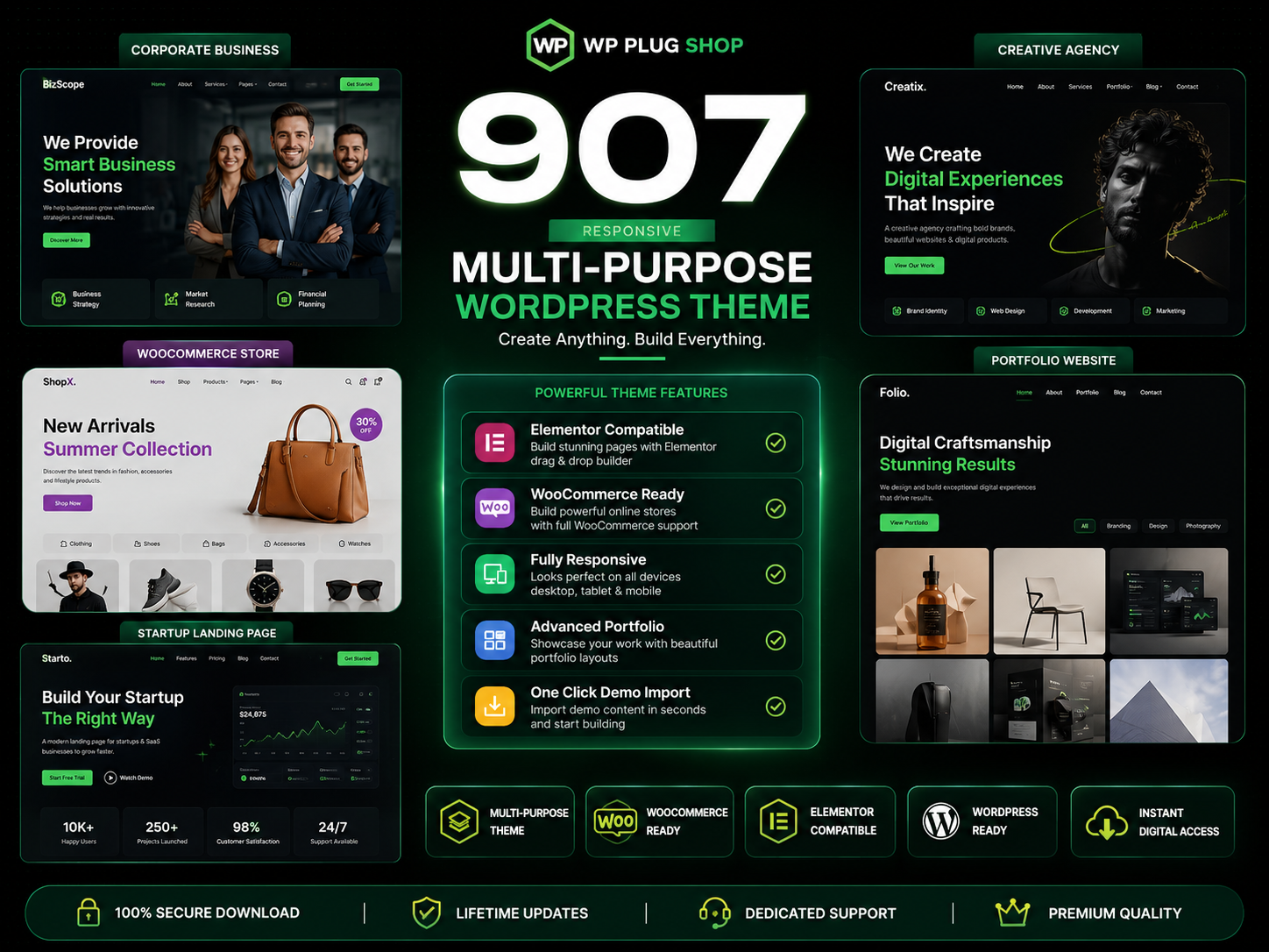
907 Responsive Multi-Purpose WordPress Theme is a flexible and feature-rich WordPress website solution designed for businesses, agencies, freelancers, startups, online
The 907 Theme – Responsive Multi-Purpose WordPress Theme is a flexible and powerful website-building solution designed for users who want to create professional
A.I Autocontent for Elementor 1.0.0 is an AI-powered content generation plugin designed specifically for Elementor users who want to create website content faster and
A.I. AutoContent for Elementor is a groundbreaking extension that brings the power of artificial intelligence directly into your favorite page builder. Designed for
Aardvark – Community, Membership & BuddyPress WordPress Theme is a premium WordPress theme designed to help you build professional online communities, membership
Building an online community, membership portal, or secure corporate intranet using generic WordPress templates often leads to mismatched design aesthetics, severe
Original price:$150.00Price:
$3.99
Secure checkoutCards via Stripe — Apple Pay & Google Pay too
Instant deliveryDownload from your account right after payment
Lifetime updatesEvery new version, free — on a single purchase
100% original & cleanVerified virus-free, GPL licensed files